The importance of consensus in determining land rights has gained a lot of attention in recent years, especially when it comes to collecting data on land properties and demarcating boundaries.
Consensus in land rights refers to the process of ensuring that all parties involved – landowners, community members, and relevant authorities – agree on the boundaries, ownership, and use of land. This collaborative approach not only improves the accuracy of land documentation but also ensures that the process is fair and accepted by all stakeholders.
Over the past few years, our team has focused on testing and developing new technologies to improve the traditional methods of land rights documentation. We’ve carried out studies in various parts of Kenya, such as Tana River County, where we assisted communities in mapping their ancestral and communal lands, and Taita Hills County, where we tested and refined new technologies for land demarcation.
One of our most impactful projects took place in Zanzibar, an archipelago off the coast of Tanzania. Here, the majority of land properties were not documented, and until recently, the extent of built properties was unknown. Through our efforts, we successfully mapped every building across the archipelago, assigning a unique ID to each one.
In partnership with the Zanzibar Commission for Lands, our goal was to modernize the land adjudication process. We quickly realized that traditional methods were outdated, and the collection of attribute data and mapping of boundaries wasn’t well integrated. These methods were also dependent on the limited availability of professional surveyors and the constrained time of adjudication officers.
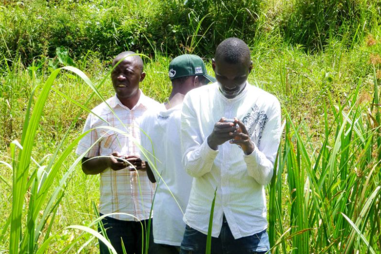
Instead of relying on these limited resources, we took a different approach: empowering the community to collect their own data on land properties, while ensuring it stayed within the legal framework set by the Government of Zanzibar. By involving the community and using modern tools like drone imagery, tablet-based survey forms, and cloud computing, we streamlined and accelerated the process of obtaining title deeds. The community took an active role in collecting data and reaching agreements on boundary definitions, which resulted in greater accuracy. The entire process was supervised by adjudication officers from the Commission for Lands, ensuring legitimacy. This experience demonstrated how crucial consensus is in determining land rights.
By the time the project ended in 2022, we had documented 1,000 land properties. The process was made more efficient through the active participation of the local community. As a result, over 100 community members were able to obtain government-approved certificates of occupancy up to that point, with more on the way.